|
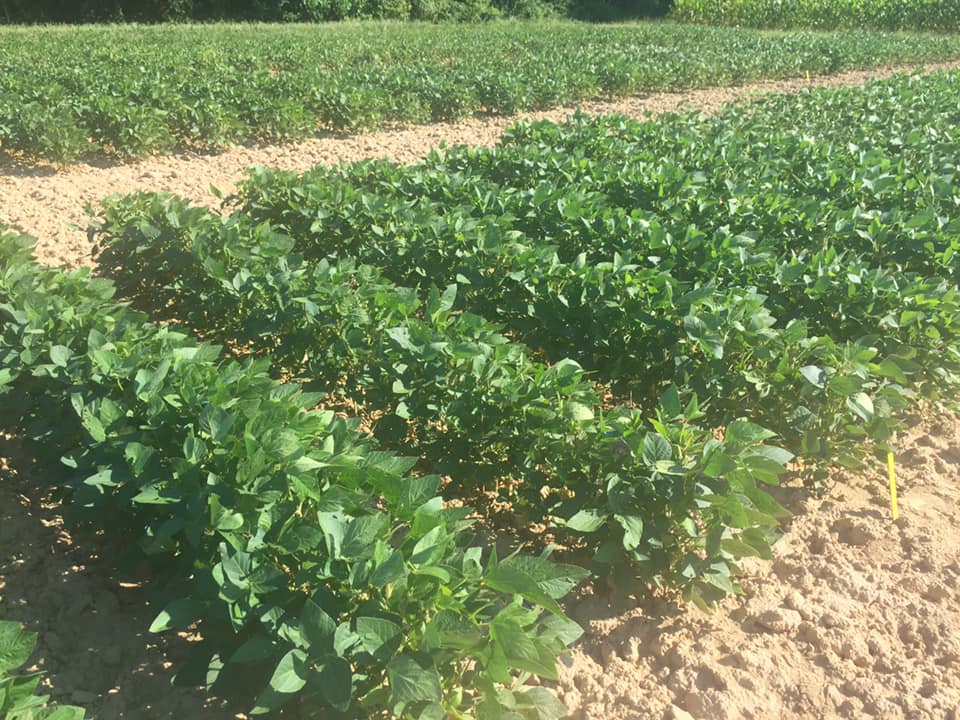
A new study at the station this summer is using UAV aerial imagery to look at canopy closure in our USDA Edamame Project at Virginia Tech plots. We are using a MicaSense, Inc. RedEdge multispectral sensor affixed to a DJI Matrice 100. 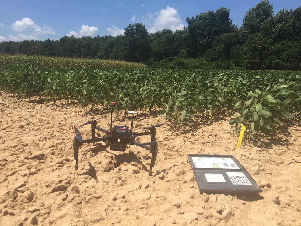
0 Comments
|
AuthorThis website is maintained by the USDA edamame research and extension project Archives
September 2021
Categories |
 RSS Feed
